In light of changing climates and evolving water conditions, a recent study published in PLOS ONE offers a comprehensive map of U.S. waterways to enhance biodiversity. This research pinpoints regions across the contiguous U.S. covering about 35% that could provide aquatic species with better survival chances as environmental conditions shift.
According to the study, this network includes waterways that are already resilient, as well as those that might benefit from enhanced flows, improved habitats, or restored connections. Mary Khoury, a freshwater ecologist with the Nature Conservancy and one of the study’s authors, explained the concept of resilience as the ecosystem’s ability “that gives species options to move and to adapt as their environmental conditions are changing.”
For fish and other aquatic species, having a network of connected waterways is crucial. It allows them to relocate to cooler or more habitable environments. Factors like extended snowpack periods and minimal nearby development also contribute to waterway resilience.
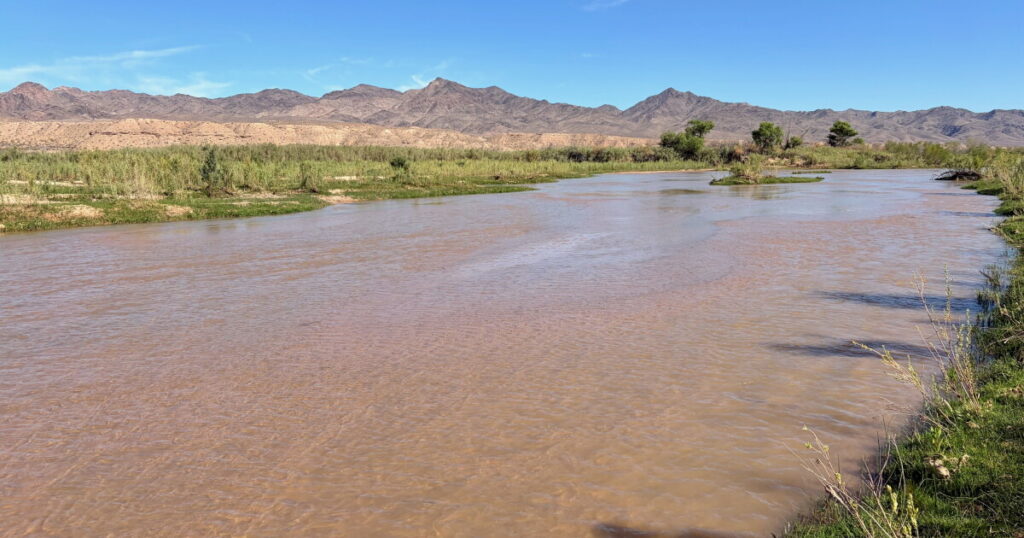
Notable resilient areas include mountain rivers in Idaho and Montana and the headwaters of the Colorado River system. Conversely, desert rivers in New Mexico, Arizona, and southern Nevada are more vulnerable due to already scarce water resources and a warming climate.
In the arid West, water availability is crucial. Researchers assessed waterways for continuous flows and connections to groundwater. Connectivity is also paramount, as barriers like dams can limit fish movement, particularly when they seek cooler habitats due to warming waters.
“They are limited to what’s wet, right?” Khoury expressed. “So, having more connectivity in the system gives them … more space, and also the potential to move into areas, especially if they’re temperature-sensitive.”
The study does not attempt to predict the exact timeline for biodiversity loss in specific rivers, acknowledging uncertainties in future precipitation and human activities, such as water withdrawals, dam operations, and habitat restoration. Instead, it provides maps to guide conservationists and water managers on where protection and restoration could be most effective.
This story was produced by the Mountain West News Bureau, a collaboration among various public media outlets and NPR, supported by the Corporation for Public Broadcasting and Eric and Wendy Schmidt.